Hike Mount Nittany and Discover a Central Pennsylvania Treasure in its Natural State
Mount Nittany Trailhead, Trails, and Maps
Navigate to the Mount Nittany Trailhead in Lemont, Pennsylvania to start your hike. Get equipped with Mount Nittany trails and maps information.

We offer a full-size brochure with a trail map you can print.
Free full-color trail maps are available in a Map Box attached to the large sign at the Mount Nittany Trailhead when you arrive for your hike.
We have also installed a system of trail signs at critical intersections and points on the paths.
Mount Nittany’s Blue and White Trails
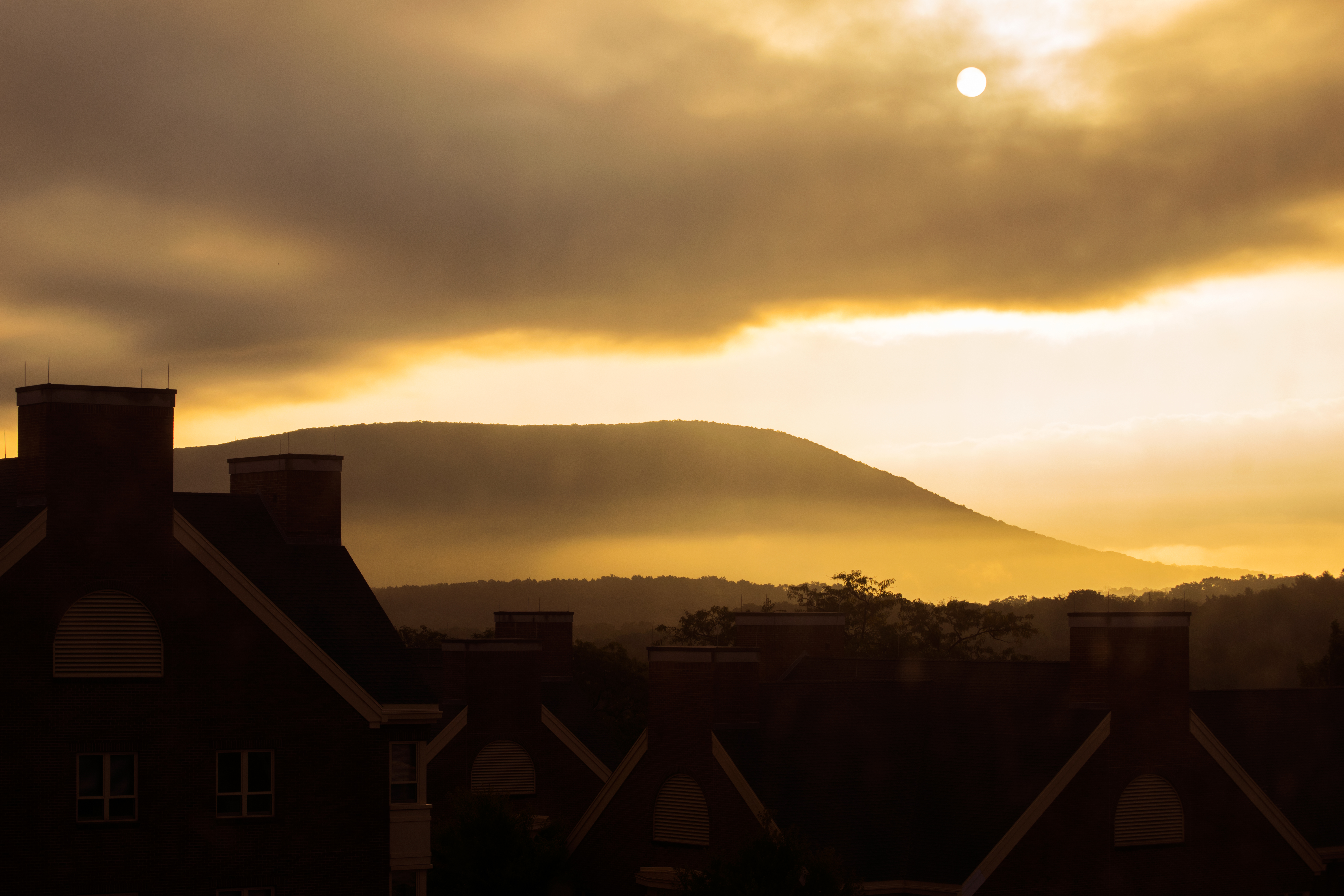
Mount Nittany is more than a local landscape or symbol, it is a place of bustling activity. It has been called the “classic hike for local residents, tourists and returning alumni,” providing exceptional views of the campus and the community from several natural overlooks. The popular Mike Lynch Overlook features a birds-eye view of the campus, including Beaver Stadium and the Bryce Jordan Center.

The Trails & Maps page shows the blazed Blue and White Trails that are maintained by the Mount Nittany Conservancy. Mount Nittany’s trailhead address is 500 Mount Nittany Road, Boalsburg, PA 16827. The hikes are healthy challenges; the trails’ beautiful, diverse assortment of trees, flowers and ground cover are inspiring, and, in some cases, even tasty, e.g., blueberries.
Up and down, the trails are rocky and steep. Those on top are relatively flat. Following the primary trails is simply a big loop. Take a right at the top and follow the perimeter trail around the whole mountain and enjoy several overlooks – town and campus to the west; south to Boalsburg, the ski slopes of Tussey Mountain, and across Penns Valley.
A secret valley on top of Mount Nittany is a nature preserve. Deer crisscross. There’s a special quiet wilderness. Soon you reach northern views overlooking Nittany Mall and Rockview Correctional Institute and the rooftops of Bellefonte. This trail leads to the western edge of State College.
Mount Nittany’s Trails on Google Street View
Summary
This is a great hike, particularly if you are a Penn State fan. Go on a clear day to see an awesome view of Beaver Stadium. It is a very strenuous hike to the top but a nice walk around once you are there. See the Trails & Maps page for driving directions and maps of the Mountain.

Details
- Highlights: A vigorous hike to a great overlook of the PSU campus and Beaver Stadium
- Near: Lemont, PA / State College, PA
- Blue Trail Distance: 4.6 miles round trip
- White Trail Distance: 3.5 miles round trip
- Elevation Gain: 650 – Hike starts at ~1350 and the high point is ~2000
- Hike Time: approx 3 to 3 1/2 hours total if an entire loop is completed
- Difficulty: Intermediate-Strenuous
- Trail Condition: Well maintained trail
- Hike Type: Out with a loop and Back
Note: If you hike to the Mike Lynch Overlook, Trail marker #3, the distance is 0.6 miles. This loop of 1.2 miles will take from 1 to 1 1/2 hours (assuming you take a break to enjoy the view).
Alert! Tick Threat Awareness
Cycles of high tick activity are increasing. According to USA Today, emergency department visits nationwide attributed to tick bites are the highest since at least 2017. When hiking Mount Nittany, take steps to keep your party and your pets safe:
- Cover exposed skin with clothing and proper footwear (e.g. high socks, long sleeves, pants, boots).
- Use repellent: Spray clothes and shoes with permethrin. (Suggested products from the Global Lyme Alliance)
- Remove clothing and do a tick check as soon as you return home. Focus on warmer, more hidden areas of the body.
- If necessary, follow these CDC recommendations for removal.
- Keep pets safe too! See these tick safety guidelines from the American Kennel Club.
Remember: If you find a tick attached to your skin, simply remove the tick as soon as possible. There are several tick removal devices on the market, but a plain set of tweezers works very well. If you develop a rash or fever within several days to weeks after removing a tick, see your doctor.
Safety Notes
- Fires are not permitted on lands owned or managed by MNC.
- The use of any off-road motorized travel vehicles (examples: ATV, Quad-Bike, Motorcycle, etc.) is prohibited on lands owned or managed by MNC.
- The advice to “Wear Orange” or other bright colors is appropriate for everyday hiking on Mt. Nittany.
- Hunting is permitted on lands owned or managed by MNC. You may still hike on all MNC lands during hunting season.
- It is unlawful to hunt on Sundays except for crows, foxes or coyotes as provided by federal and state regulations. See the PA Game Commission site for Hunting Season dates.
Suggested Equipment
Always take the following items along with you when hiking:
- Extra food and water — Take more food and water than you think you will need, particularly water.
- Extra Clothing — A warm morning can quickly turn into a wet cold afternoon. Take an extra shirt and some rain gear.
- Maps — This should be a detailed map of the general area you are hiking that shows the specific trail you intent to hike. We recommend taking a topo map with latitude and longitude coordinates on the map. You can print the topo maps on this site to take with you, although the may come out a bit small. You can also use a topo map to orient yourself to major landscape features, helping to find your current location.
- Compass — When you reach the trailhead, note on the map the general direction of the trail, then use your compass periodically to make sure you are still heading the right direction. If you get lost, you can also use the compass to find your position on the map by taking bearings.
- First Aid Kit — This is a must take item. Many outdoor stores sell well stocked, compact first aide kits for hikers. For those new to hiking, make sure the kit contains moleskin, and indispensable solution for blisters on the trail. Learn more about Wilderness First Aid.
- Sun Protection — Don’t forget a hat, sunscreen, and sunglasses.
- Tick Repellent — Products with the active ingredients DEET, Picaridin, Oil of Lemon Eucalyptus, or Permethrin are most effective.
- Camera — Bonus item… There are sure to be plenty of great views as well as wildlife and more!
Seasons
A hike on the trails blazed through the woods is rewarding any season. (spring and fall are best for favorites though)
At the start of the climb, the richer soils and gentler slopes support a diverse assortment of forest trees, including several kinds of oaks, white ash, sugar and red maples, shagbark hickory, basswood and several other kinds. As you climb the trails, the major trees are chestnut oaks, with a scattering of red and black oaks, pignut hickories, and white, pitch and table mountain pines.
Near the top, numerous American chestnuts continue to sprout from old roots, and there are dense growths of black birch and some paper birch and sassafras. Thickets of the fast growing but scrubby striped maple or moosewood and bracken fern are troublesome along some of the trails as they tend to take over. The forest floor is covered everywhere with low-bush blueberries and other shrubs.
- SPRING, Mother’s Day is an ideal time. Spicy fragrant, pink azaleas have burst forth on upper areas, with occasional pink lady slipper orchids appearing underneath. Pink trailing arbutus line some trails. Mountain laurels peak a month later. Serviceberries bloom earlier, their white flowers presaging red/purple fruits in June. May sees the return of migratory birds.
- SUMMER, yellow false foxgloves and loostrifes are common on some trails. Blackberries and black raspberries flourish on the far side. The small red berries of wintergreen or teaberry are almost everywhere. In some damper areas, mushrooms and saprophytic white Indian pipes and red and yellow pine saps sprout.
- FALL, birches, ashes, hickories, and some maples turn yellow. Oaks follow from bronze to dark red. A sampling of wildflowers are held in check by dense forest cover. In low damp areas, witch hazel bushes yield yellow, stringy flowers.
- WINTER, leafless trees along ridge trails offer additional valley views. Snow shows deer, fox, turkey and bear tracks. Woodpeckers abound.
Project Noah & Eyes On Central PA
Project Noah is a tool to explore and document wildlife and a platform to harness the power of citizen scientists everywhere. Meteorologist Joe Murgo is on a mission and he needs your help! Snap photos of wildlife you spot in our area – plants, animals, insects and more on and around the Mountain – and share them with others. Click here to add your photos of the Mountain’s flora and fauna.
Geo-Game, Geocaching, Letterboxing, Geo-dashing
Geocaching involves the placement of ‘caches’ (usually small containers) in natural areas. The Mount Nittany Conservancy welcomes geo-gaming as a healthy physical activity that encourages recreation. The purpose of our Geo-Game Policy and Guidelines policy is to establish management and placement guidelines for geo-gaming so as to minimize the impact on natural and cultural resources on MNC-managed land. Click here for a copy of our guidelines.
Control of dogs on Mount Nittany Trails
Visitors to the Mountain need to be aware that Pennsylvania has a state-wide dog law. This is why the Conservancy has no formal rules / policies on the subject while on our trails.
The PA law states an owner must have “reasonable control” their dog at all times. Here is the law section for PA:
§ 459-305. Confinement and housing of dogs not part of a kennel
- (a) Confinement and control.–It shall be unlawful for the owner or keeper of any dog to fail to keep at all times the dog in any of the following manners:
- (1) confined within the premises of the owner;
- (2) firmly secured by means of a collar and chain or other device so that it cannot stray beyond the premises on which it is secured; or
- (3) under the reasonable control of some person, or when engaged in lawful hunting, exhibition, performance events or field training.
This site, http://www.animallaw.info, has more info on the law here. The same site also discusses the PA law in great detail here (and this at the end):
Finally, from the Website from Pennsylvania Magistrate District Judge George Clark comes this FAQ:
Does the PA Dog Law require that I use a leash when I walk my dog?
People would be amazed to know how much time we spend on cases involving dogs and the responsibilities of dog owners. This is an inevitable phenomenon associated with residential development as our neighborhoods grow. The Dog Law, 3 P.S. sec 459-305, requires “dog owners and keepers at all times” to (1) confine their dogs within the owner’s premises, (2) secure firmly by collar and chain or other device to prevent straying and (3) maintain the dog(s) under reasonable control. “Reasonable control” does not necessarily mean “on a leash” but the absence of a leash while walking a dog is a relevant factor to consider in determining the issue. The best practice to follow is to use a leash whenever possible because such a device makes it easier to control the dog.
Please consider the above as you walk your dog anywhere in our state, just not on Mt. Nittany.
Notice: Traveling in the back country can be hazardous. You are responsible for informing yourself about these hazards and taking necessary precautions. Information on this web site may contain errors or omissions. Please use common sense when hiking, and follow all rules & regulations as well as Leave No Trace principles when recreating in the out of doors. The Mount Nittany Conservancy takes NO responsibility for any injuries, accidents, mishaps, etc. that might take place on the grounds of the Conservancy.
Time-Lapse Hike of Mount Nittany
In June 2010, “Yougimpytube” shared footage they stitched together of 3,685 photos from their 2.5 hour hike on the Mountain, and we’re sharing that video below. As you watch, note that they didn’t take the most common route up the Mountain (White trail to the Mike Lynch Overlook). Instead, from Station #1 they went straight and followed the Blue trail to Station #10. From there they continued to the Tom Smyth Overlook at Station #9. They continued to follow the Blue trail around the Mountain to the Penns Valley and Boalsburg Overlooks. Then to the Lynch Overlook and back down the White trail to the trailhead! It was a sunny Spring day and you even get a chance to see Pennsylvania’s State flower, Mountain Laurel, in bloom along the way.
Time Frame:
- 0:07 Trailhead
- 0:12 Station #1 (ascend Mountain via Blue trail)
- 1:25 Station #10
- 1:40 Nittany Mall Overlook
- 2:34 Station #9: Tom Smyth Overlook
- 4:01 Station #8: Penns Valley Overlook
- 4:43 Station #7: Little Flat Overlook
- 5:34 Station #6
- 5:56 Mountain Laurel in bloom
- 6:03 Station #5
- 6:29 Station #4: Boalsburg and Mt. Nittany Middle School Overlook
- 7:05 Station #3: Mike Lynch Overlook
- 7:20 Station #2 (descend Mountain via White trail)
- 8:12 Return to Trailhead
In August 2013, “rab8823” shared the following time-lapse from Mount Nittany’s Mike Lynch Overlook with a view of Penn State and Downtown State College:
In May 2016, “ooklah” shared the following time-lapse footage of Mount Nittany “in what felt like gale force winds”:
Tom Shakely shared the following footage from his June 2018 hike on Mount Nittany during a light summer rain:
Trail Preservation
The loose sand and shale soils on the steep slopes are easily damaged and eroded. Thus, the mountain is limited to foot travel only, as bicycles, motorized vehicles and horses cause irreparable trail damage. Old, discontinued trails running straight up and down the slopes should not be used. The same goes for creating new trails on the mountain.
We are proud to belong to the Leave No Trace Organization that advocates outdoor ethics for visitors to use. We adhere to the seven (7) Leave No Trace principles:
- Plan Ahead and Prepare
- Travel and Camp on Durable Surfaces
- Dispose of Waste Properly
- Leave What You Find
- Minimize Campfire Impacts
- Respect Wildlife
- Be Considerate of Other Visitors
Please note that due to safety concerns, campfires and overnight camping are prohibited on all lands owned or managed by the Mount Nittany Conservancy. Please note that we have a Carry in, Carry Out Trash Policy; NO trash receptacles are located along the trails!
Wildlife Conservation
With the help of our visitors, we hope to help conserve and preserve our local wildlife. The Mount Nittany Trail is great for year-round wildlife viewing; everything from song birds and birds of prey, to white tail deer and the like.
Some guidelines to follow while on the trail that will help to enable you to view wildlife include:
- The quieter you are, the better chance you will have of seeing birds, deer, rabbits, and more…
- Wear colors that blend in with nature. Bright colors may be easier for others to see, however they also alert animals to your presence and may frighten them away.
- Don’t do anything that would alter the behavior of an animal. This includes things such as feeding or offering food to the animals. Behaviors such as these increase the risk of wildlife associating people as a source of food — and we already know how pesky some wildlife can be! Also, wild animals are not tame; thus there is always a chance of behavior on the animals part that can put us humans in harms way.